MODOC LINE STORY MAP
The Modoc Line Rail Trail is an 85-mile rail trail, which runs from Wendel Road in eastern Lassen County to Likely in southern Modoc County.
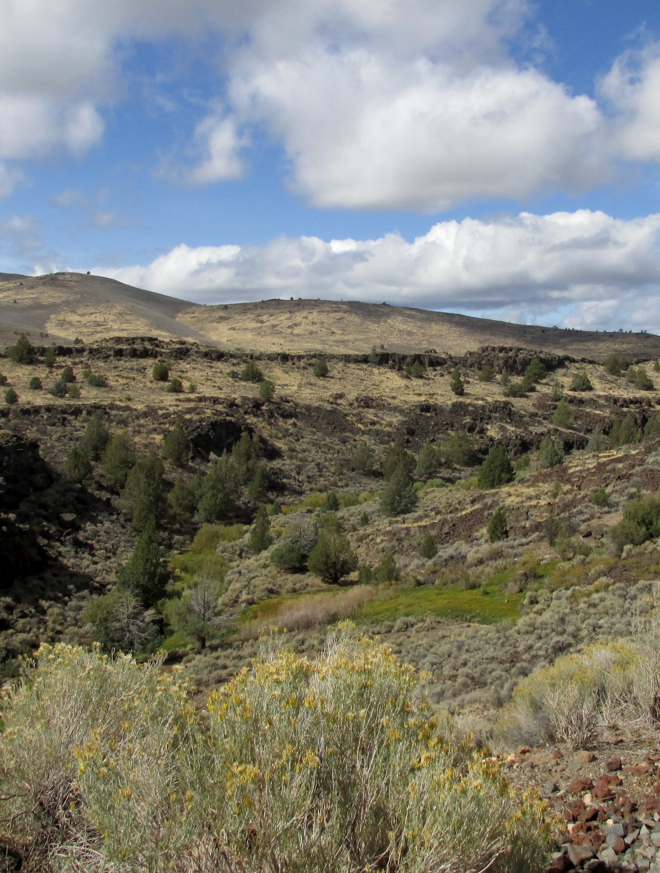
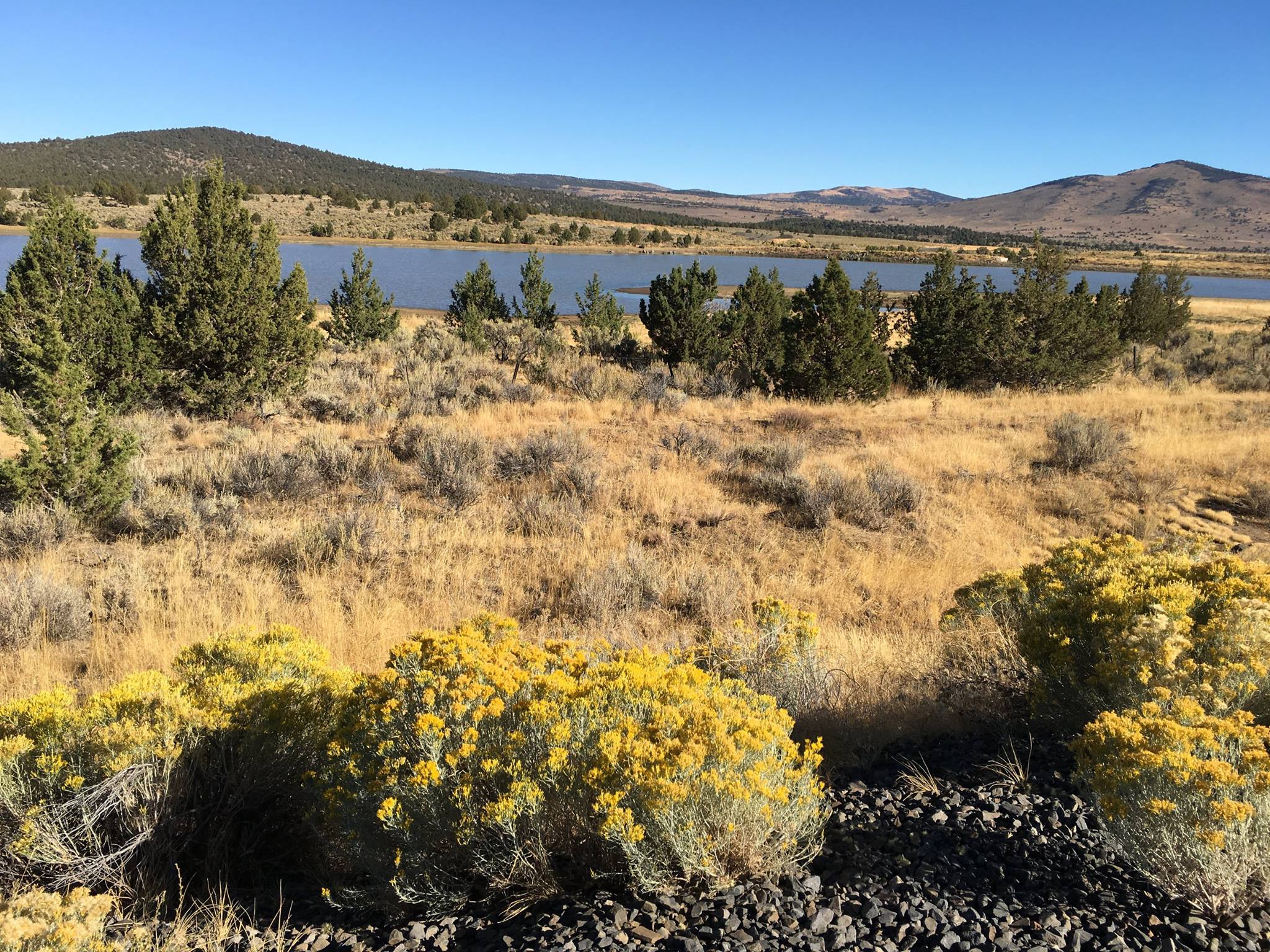
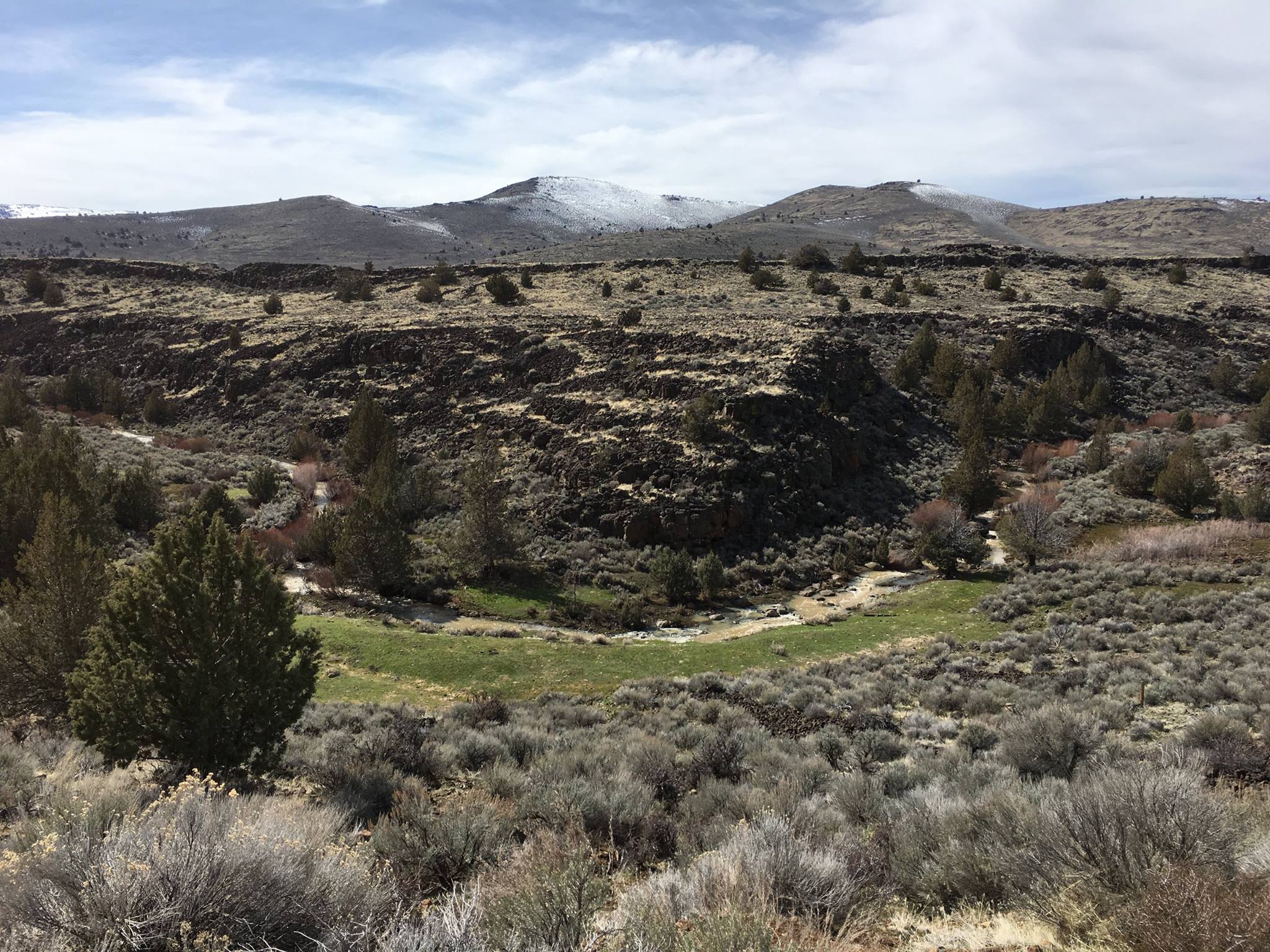
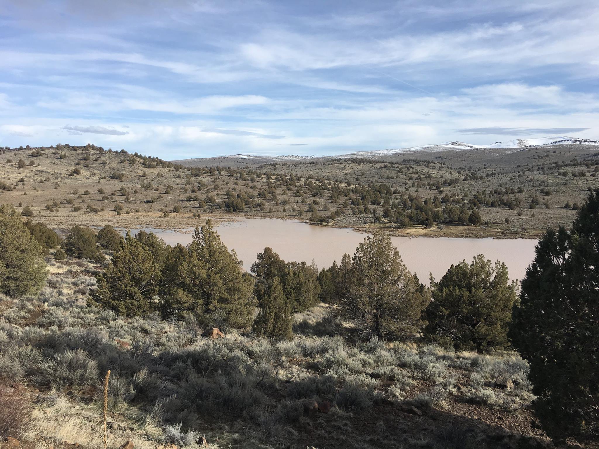
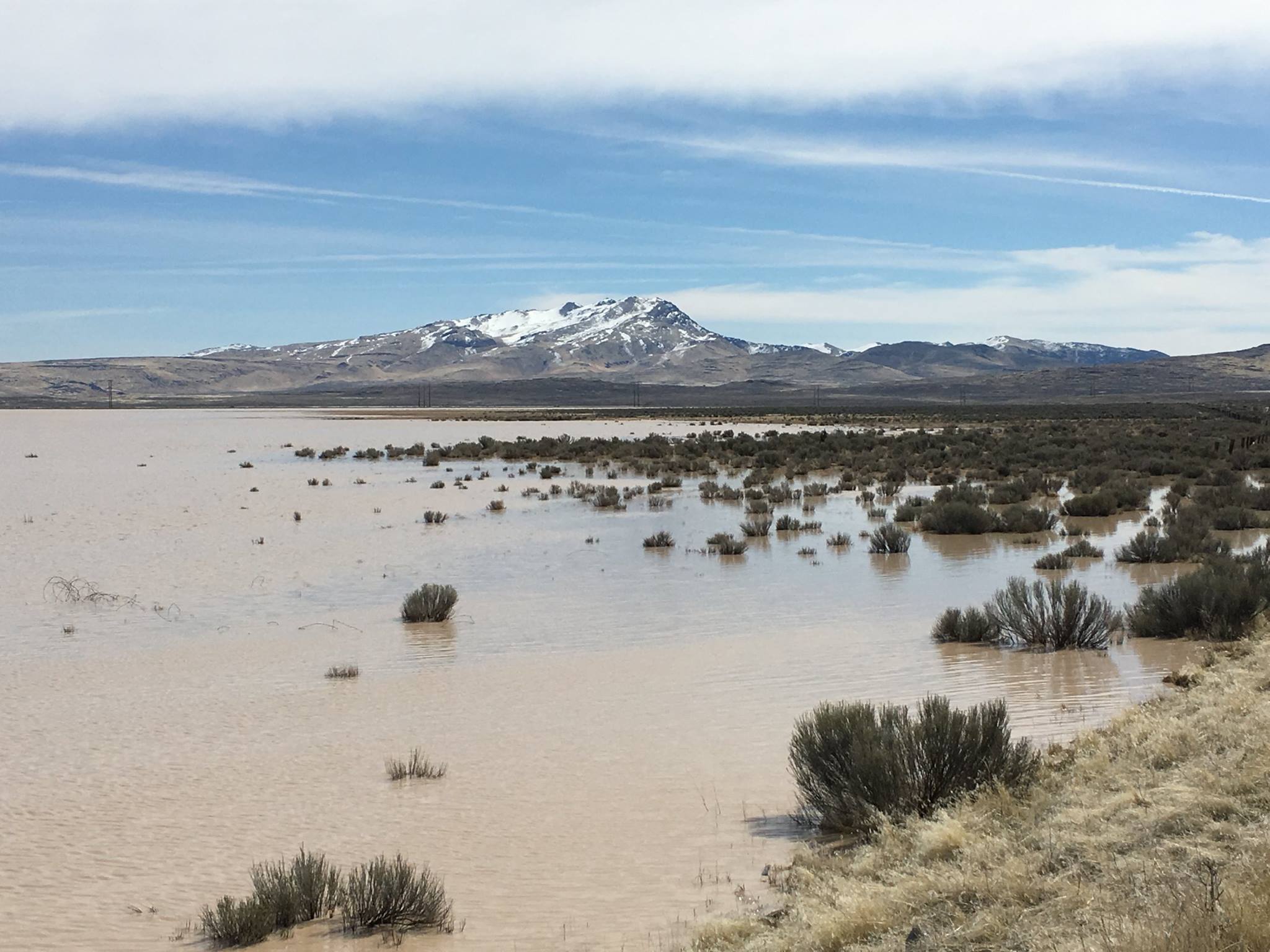
The trail traverses over 2,000 acres of some of northeastern California’s most dramatic rangeland, views of the Skedaddle and Warner mountain ranges and opportunities to see wildlife, including herds of pronghorn antelope. The trail corridor connects BLM lands from Biscar Reservoir to the Tule Mountain Wildlife Study Area.
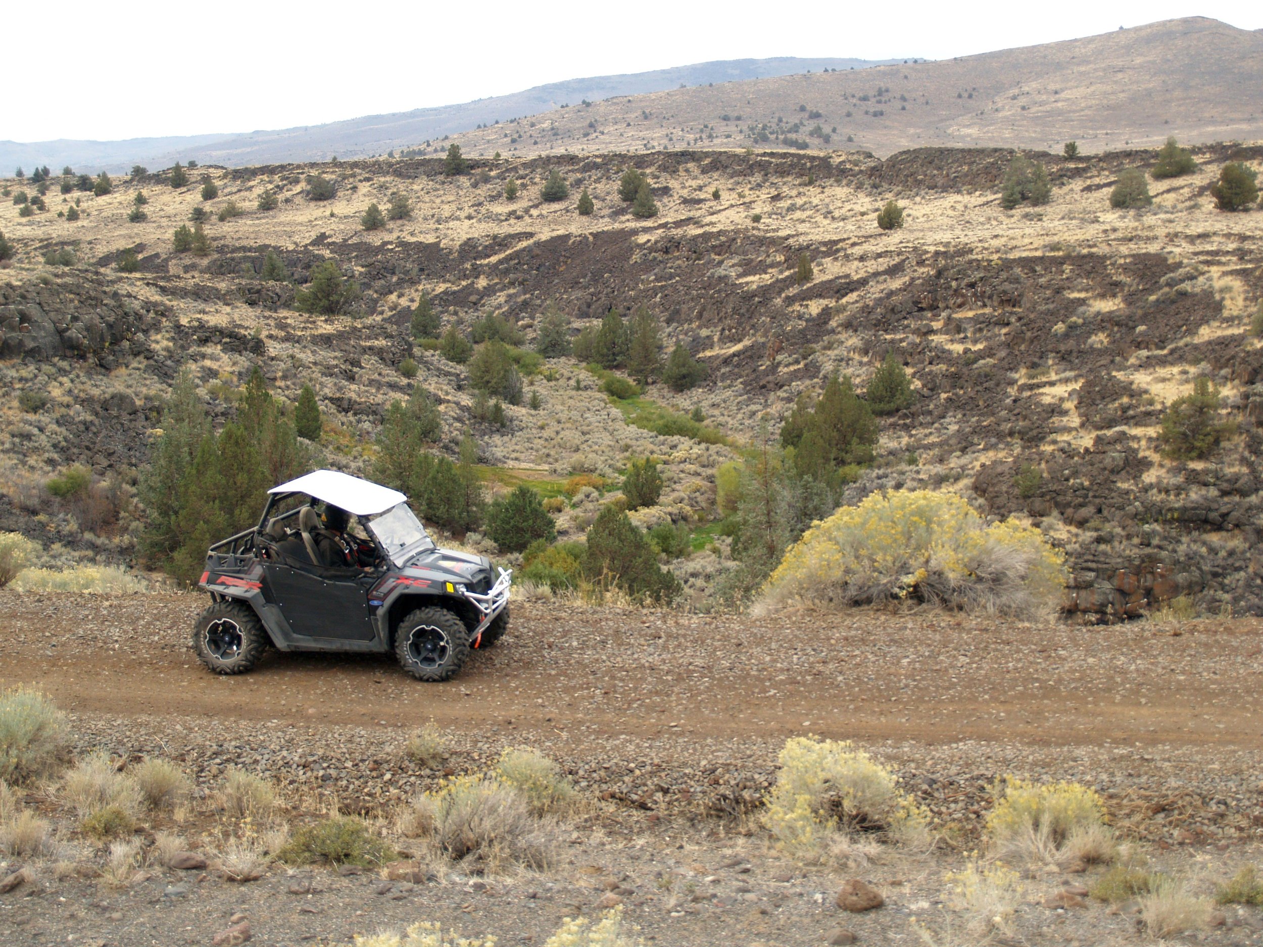
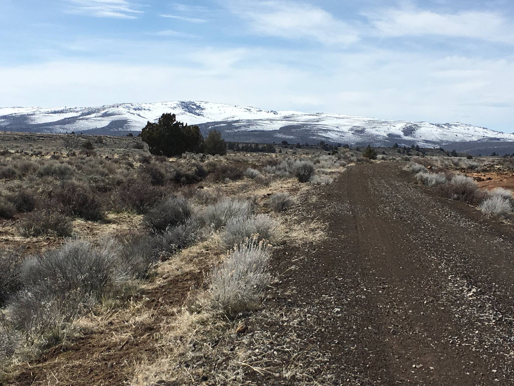
Three segments of the trail are currently open to the public for use. The Sage Hen segment, the Snowstorm Canyon segment and Viewland. The trail is open to high-clearance road vehicles, and shared use with bikes and equestrians. The surface is gravel with sections of remnant railroad ballast. The trail cuts through open cattle range. Caution is encouraged.
There is a maximum speed limit of 25 mph for motorized vehicles. Equestrians, hikers, bikes and motorized vehicles have the right of way in that order. No firearms may be fired within the corridor. (See State of California regulations regarding use of firearms on public highways.)

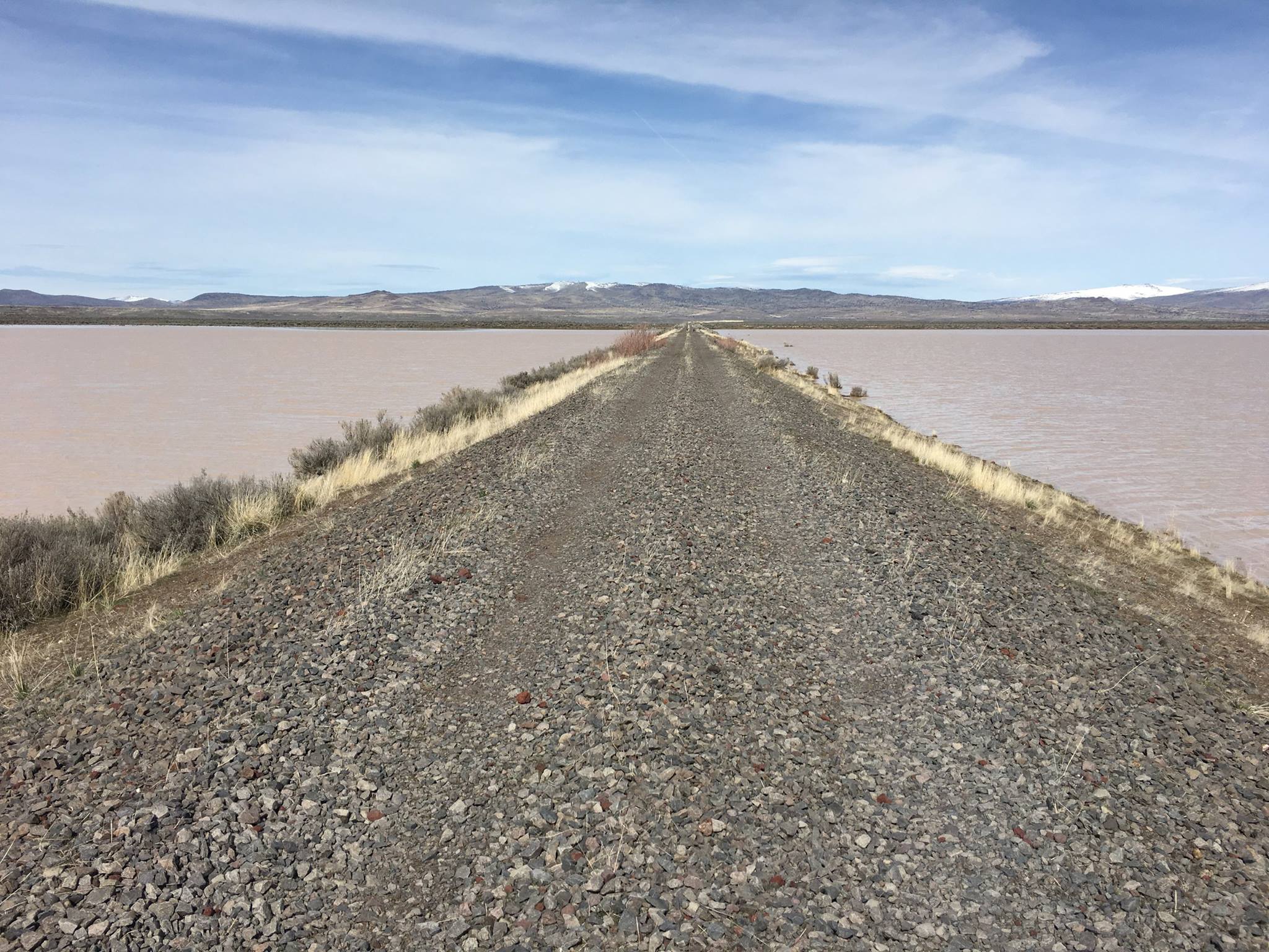
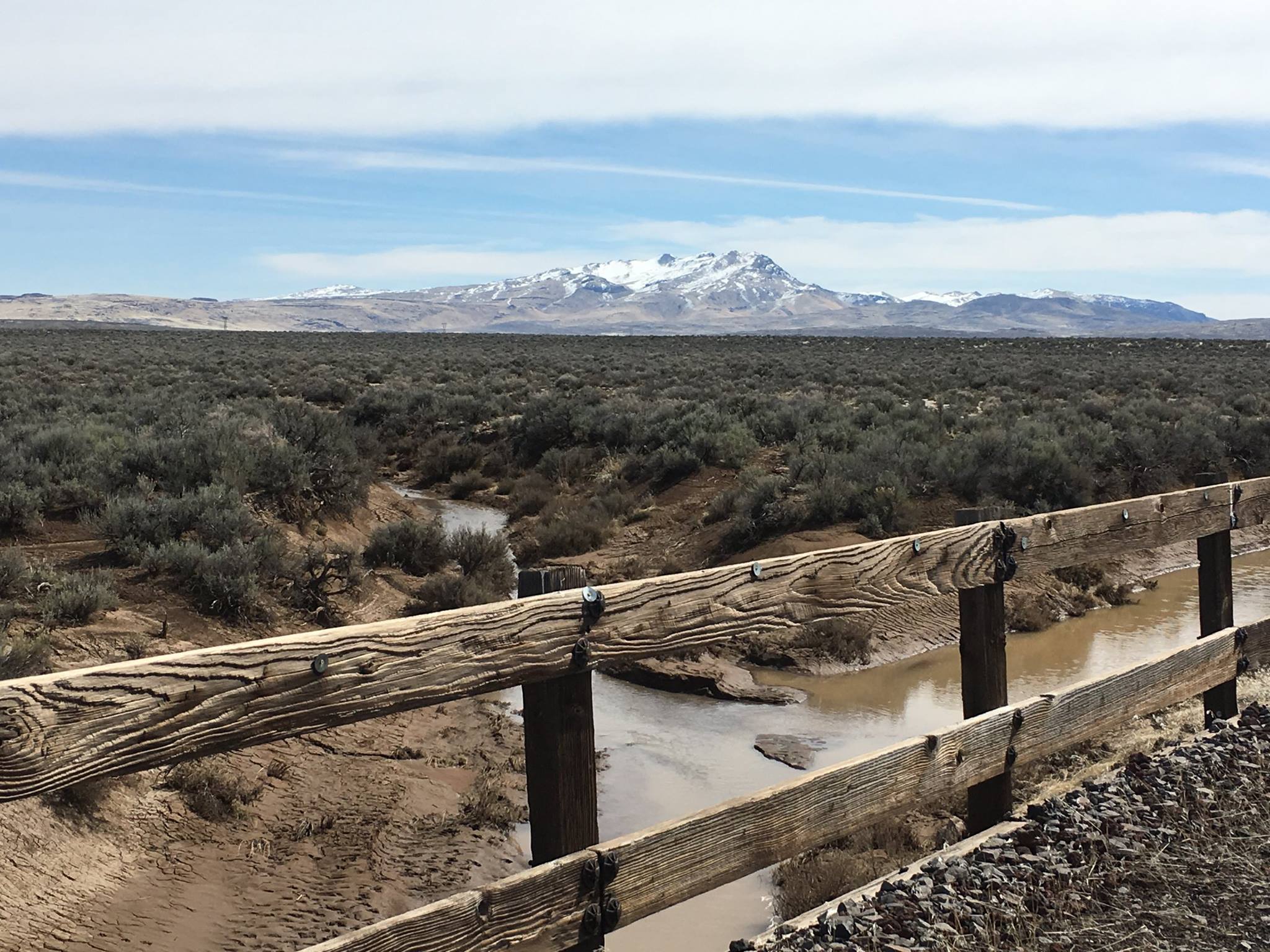
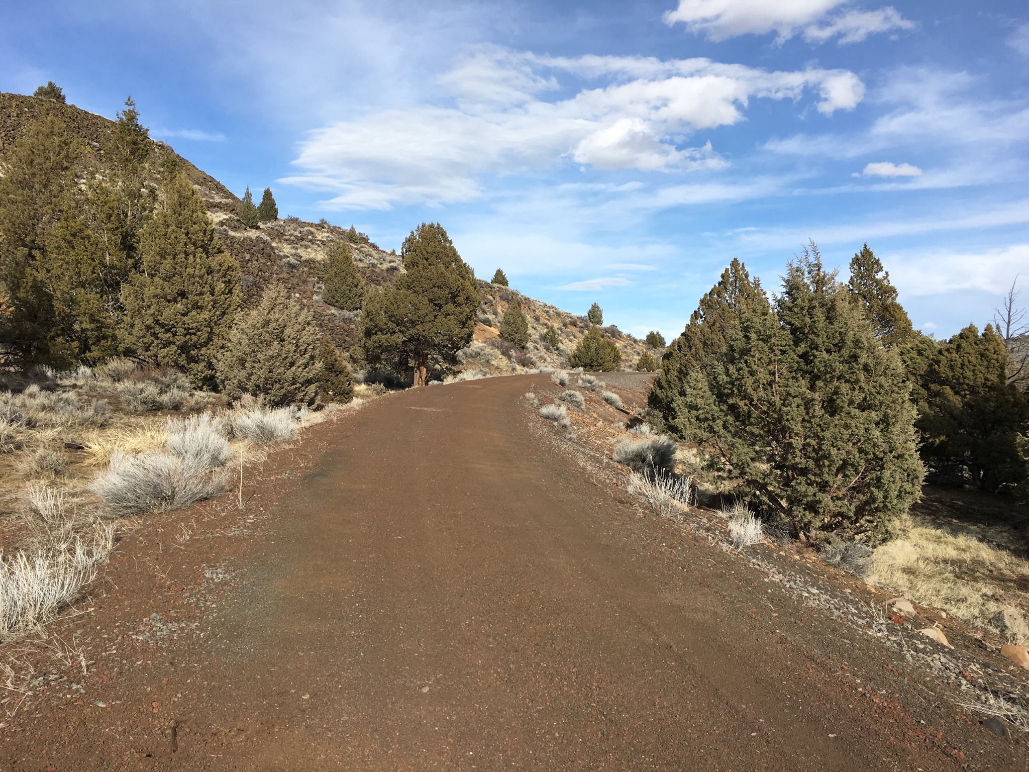
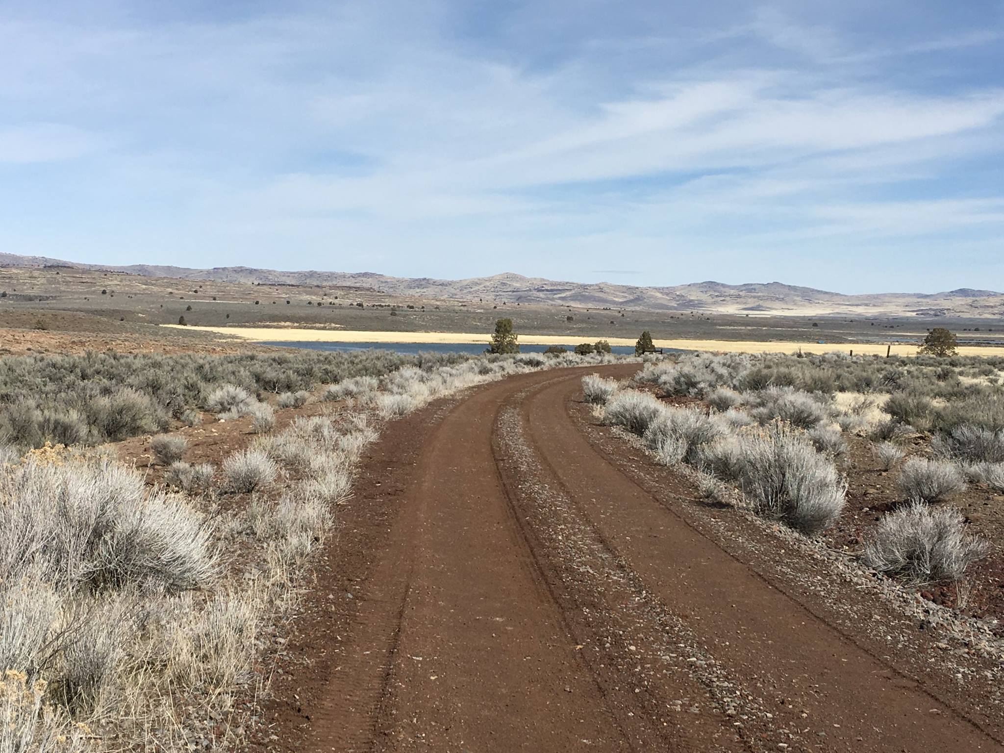
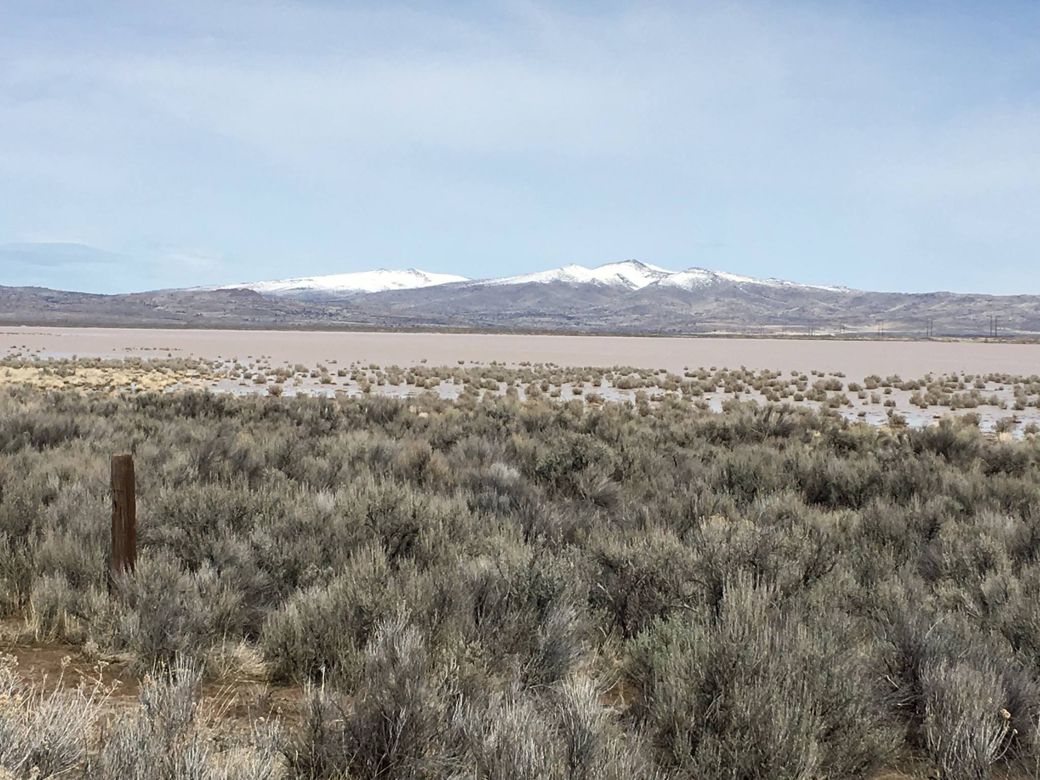
Modoc Line Rail Trail
Our partner in conservation, Rails-to-Trails Conservancy has put together a wonderful link full of reviews and information. Click the button to open.
